Mastenbroek, which has been pioneering the importance of drainage in crop production since 1977, is now promoting the relatively new concept of land forming and land levelling.
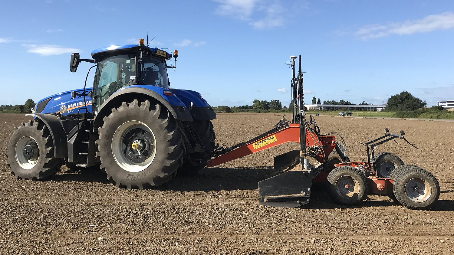
Although commonplace in the United States and Europe, Land forming is yet to take off in the UK. It uses a GPS survey to identify uneven areas of a field, with the survey data then used to scrape the soil from higher areas of the field into lower areas to produce an optimum surface. When combined with a drainage scheme, the land becomes more productive, generating better yields.
AMS Contracting of Chichester, West Sussex, is currently the only contractor in the UK using the Mastenbroek-supplied Trimble FieldLevel II system to generate cut and fill maps for farmland.
It has won a significant land forming contract with G’s Fresh and will be working on 7.5ha of land to optimise salad production using a scraper equipped with the Trimble GPS system. The work is expected to take three days, during which time AMS will survey and form the field in line with its natural contours in such a way to eliminate ponding.


