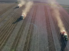
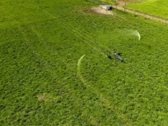
Aerial reconnaissance of crops on large arable units is easier than ever with the latest LP960 professional micro civil drone (or unmanned aerial vehicle) from French company Lehmann Aviation.
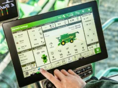
The unitis now controlled with a touchscreen tablet, meaning that flight preparation and control has never been easier. The user just “draws” the area of interest on a map on the tablet’s screen, and the mission is automatically generated and programmed for the drone.
The LP960 is a professional, rugged, unmanned aerial platform designed for creating geo–referenced orthomosaics and digital elevation models, as well as high-resolution images (up to 16 megapixel depending on the camera used) and live video.
Designed for a diverse range of civil applications, it should prove especially useful in agriculture as, equipped with an advanced autopilot and navigation systems, it has become easy to monitor farms and agricultural fields. Potential uses include:
- real time control of the farm animals/crops;
- detection of the diseased crop;
- detection of the areas where the crop is being eaten by pests;
- crop growth monitoring;
- monitoring of moisture level; and
- monitoring of the general state of different crops and fields.
 |
The complete Lehmann LP960 kit costs about £5,900. |
The LP960 is supplied as a kit costing about £5,900 (correct at May 2013) that includes two wings, electronic flying platform, common Lehmann Aviation ground control system, power system and a set of accessories. All the parts of the drone are interchangeable. Lehmann recommends the use of Sony’s Nex4R camera, which is available as optional equipment.
The LP960 can be purchased online and delivered worldwide for free within 4-8 weeks.
For more information visit: www.lehmannaviation.com.


